
How to Visualize Your Data with Map Charts
Data visualizations help you to take in large sets of data that would otherwise be impossible to comprehend. Although you can hire a designer to create a data visualization from scratch, this would take thousands of hours. Therefore, it’s much better to use a data visualization tool.
Data visualization tools are an easy way to visualize your data with map charts. In general, these tools require you to upload your data through a spreadsheet and then identify each column of data points, so the program knows how to use them. For instance, you’ll need to label which columns contain location data.
What to Look for in a Data Visualization Tool?
When choosing a data visualization tool to use, you need to consider a few factors. First, how easy is it to use? Some apps are incredibly complicated, while others provide tutorials and documentation with an intuitive UI.
Second, how much data can the tool handle? Again, you will want to choose something that can handle a lot of raw data and possibly multiple data sets as well.
Third, how much does it cost? Although a higher price tag shouldn’t disqualify an app, the cost needs to be justified by offering better features, such as drive time polygons or zip code heat maps and superior support and overall value.
The 3 Best Tools to Visualize your Data with Map Charts
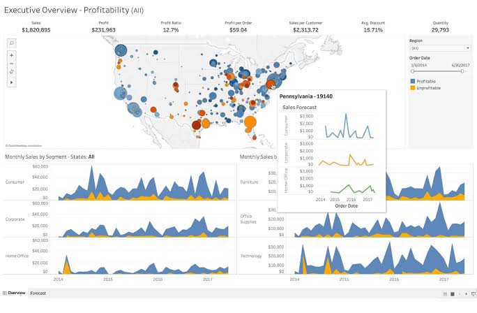
1. Tableau
This tool offers several options, such as a hosted online version, a free public option, and a desktop app. There are also hundreds of ways to import your data, including CSV files and data from Google Analytics.
Tableau offers an intuitive and user-friendly interface with drag-and-drop functionality. Furthermore, according to its community forum, it can handle 10 million rows of data.
Tableau public is free but has limitations. Therefore, for people looking for a more comprehensive data visualization tool, paying for their premium service is recommended. There are several levels of their premium service. The first level is Tableau Viewer, which is $12 per user per month. Next is Tableau Explorer, which is $35 per month per user. Finally, their last tier is Tableau Creator, which is $70 per month per user.
2. Maptitude
A unique characteristic of Maptitude is that it allows you both to map your data and add demographic data from a variety of countries, including the US, Canada, Brazil, France, Germany, Italy, New Zealand, the UK, Australia, and Germany.
Maptitude lets you import your location data through an Excel or CSV file or via text. Alternatively, you can use an SQL server, dBase, Oracle, or any ODBC compliant data source.
The Maptitude user interface is complex because it has so many features, but there is plenty of documentation to help you navigate the application.
Maptitude is an expensive program, and its prices start at $420 for a one-year, one-user subscription to its cloud platform. The next tier is for its desktop version and costs $695 for a 10-year term with one user. Then, the cost is $995 for a 10-year term for one user for the remote desktop option. After that, you have an enterprise option that costs $9,995 for a term of 1-year for ten users. Furthermore, there is no information about how much data this application can handle at the time of this writing.
3. Maptive
Maptive is a cloud and web-based mapping solution that lets you upload data from an Excel spreadsheet, Google sheets, or by copying and pasting the data directly into the program. It can handle either 100,000 locations or 10MB of data. However, what truly sets this data visualization tool apart is its powerful data analysis features. For instance, it allows you to filter and group your data based on a variety of criteria.
Additionally, you can create heat maps, radius maps, and demographic/census maps. Furthermore, it features enterprise-level security and an easy-to-navigate interface. Also, Maptive offers a number of tutorials and fast customer support to help users create the map they need.
Maptive offers a free trial of ten days so that you can try out the platform without any risk. After ten days, you have the option of purchasing a 45-day pass for $250 or sign up for a yearly membership for $1250 for one user license, $2500 per year for five user licenses, or you can get an enterprise-level membership by speaking with the Maptive sales team.

